Category Archives: A-Z 2016

Lunch on the C&D Canal

The Chesapeake and Delaware Canal was built to connect the Chesapeake Bay with the Delaware River, to save time transporting goods mainly between Baltimore and Philadelphia. The canal was completed in 1829, originally a lock canal, now a sea level canal. In the 1920s the federal government assigned ownership and operation of the C&D canal to the United States Army Corps of Engineers. Wikipedia offers a good account of the canal’s fascinating history since its inception in the 17th century.

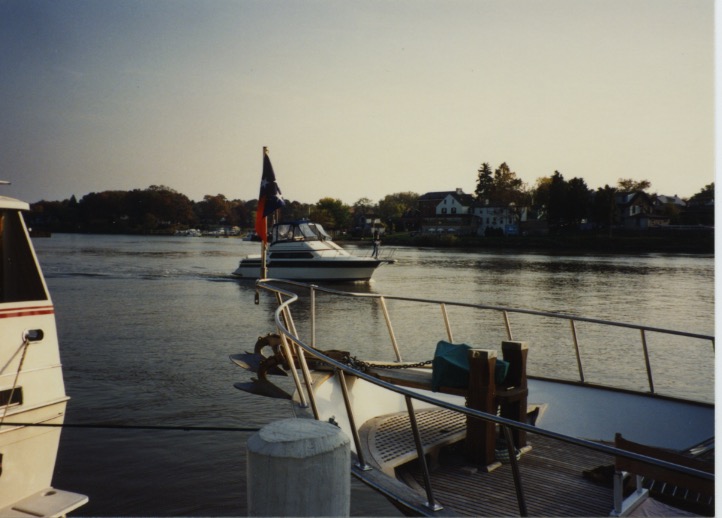
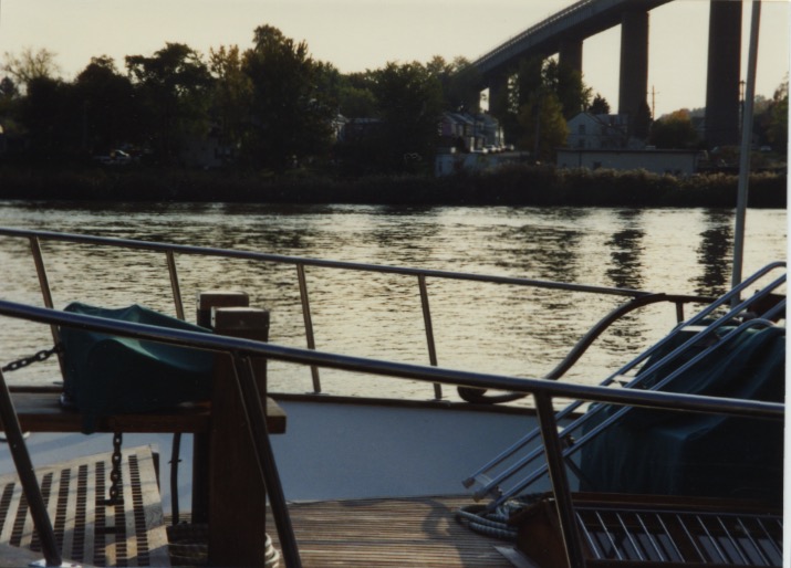
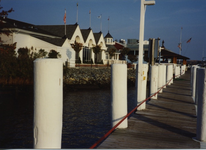
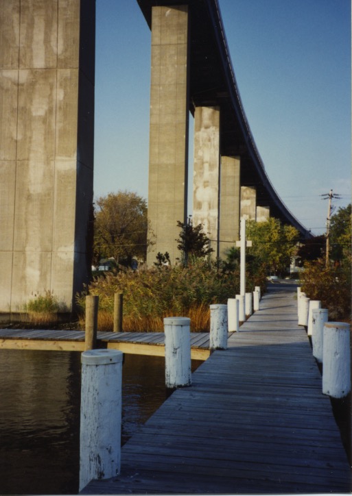
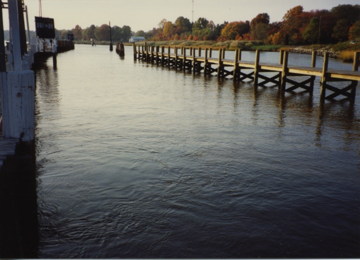
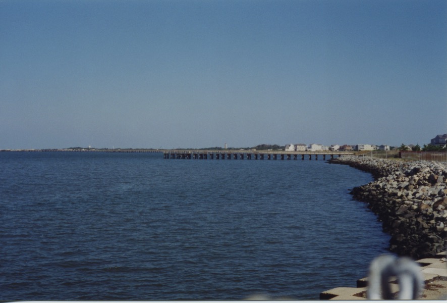
One fine October afternoon at the end of the 20th century my mother took me to lunch at the Chesapeake Inn overlooking the C&D Canal and marina in Chesapeake City, Md. Here are some photos I took during our visit.

C&D Canal Bridge 1

Chesapeake City Bridge over the C&D Canal.

C&D Canal Scenes 3

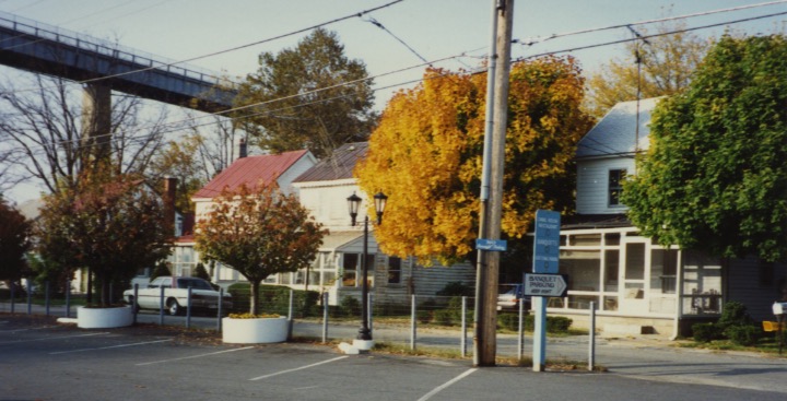
Chesapeake City, Md.

Below, more scenes along the canal:

C&D Canal Scenes 1

C&D Canal Scenes 2

A barge went by when we were eating lunch and I tried to get a photo through the restaurant window, but mostly what I got were our reflections.

C&D Canal Scenes 5

C&D Canal Scenes 6

C&D Canal Scenes 7

Red Boat CD001

“Red Boat” — An enlargement of this photo was exhibited in a gallery in Naples, Fla., on Fifth Avenue South.

C&D Canal Scenes 8

C&D Canal Scenes 9

–Samantha Mozart

Kaibab Plateau

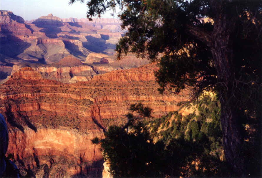
The Grand Canyon of the Colorado River bisects the Kaibab Plateau in northern Arizona. The north side of the plateau, part of the greater Colorado Plateau, has an elevation of up to 9.200 feet. The south side ranges in elevation from 8,800 down to 6,000 feet. Because the North Rim, itself, of the canyon is a thousand or so feet higher in altitude than the South Rim, the North Rim is colder and has more snow. My photos here are taken from the South Rim. I have not visited the North Rim.

GCN 1 Rose AZ005

The Grand Canyon is more than one mile deep, 277 miles long, and up to 18 miles wide. The Colorado River falls 2,000 feet during its course through the canyon. Most first time visitors to the Grand Canyon stand speechless as they gaze out across the awesome vastness. The nearly 40 layers of sedimentary rock layers of sandstones, shales and limestones lay exposed like pages in an open book revealing a story of geological phenomena inscribed from 200 million to two billion years ago. It simplifies the story to say that the Grand Canyon was carved solely by the Colorado River; other geologic forces are involved, too, including movement of the earth’s tectonic plates, volcanic activity and wind erosion.

GCNV

President Chester A. Arthur designated this land federal government property in 1882, effectively pulling the land out from under the Havasupai (the People of the Blue-Green Waters), all but 518 acres, who had existed on their land, the size of the state of Delaware, for eight centuries. The Havasupai have held strong bonds with the Hopi people, who live in close proximity.

President Gerald Ford returned much of the land to the Havasupai. Supai is the Havasupai city on the floor of the canyon. The town is home to about 500 tribe members, and the tribe charge tourists, required to make hotel and rooming reservations, to visit their land.

GCN Purple Verticle Lt AZ004

The Bright Angel Trail you see in the photo above, descends 4,380 feet, at a 10 percent grade, to the floor of the canyon. The highest point is 6,860 feet at the South Rim; the lowest point is 2,480 feet at the Colorado River. Follow the eight mile long, narrow trail by foot or by mule, from the South Rim down to the canyon and then another 1.9 miles to Phantom Ranch. Mules rather than horses carry you and your packs along the Bright Angel Trail because mules have calmer dispositions and are more sure footed.

Hopi House & El Tovar

El Tovar, situated on the rim of the canyon, is a National Historic Landmark. Opening in 1905, the hotel had its own greenhouses growing herbs and flowers, poultry, cows and a butcher shop. Even today, although regulations do not permit husbandry within park boundaries, the hotel maintains sustainability, sourcing these products from just outside the park. El Tovar was once a part of a chain of hotels owned by the Fred Harvey Company in conjunction with the Santa Fe Railway. Such luminaries as Teddy Roosevelt, Albert Einstein, Western author Zane Grey, President Bill Clinton and Paul McCartney have stayed here. Teddy Roosevelt thought this location beautiful as it is, that no hotel ought to be built. He also told the Havasupai that this land was being designated a national park and that they would have to leave. I ate breakfast here with a Tahitian couple I escorted on their tour. To the waiter’s question, “How would you like your eggs?” the French-speaking wife replied, “Sur le plat.”

Hopi House & El Tovar 1

This picture above is of Hopi House, a gift concession featuring a large selection of Native American handicraft. Hopi House is a National Historic Landmark. The building, located on the South Rim of the Grand Canyon next to El Tovar, was designed by architect Mary Colter on the model of a Hopi dwelling and was completed on January 1, 1905.

And here is how I got to the Grand Canyon to take these photos. (And, no, Capt. Steve Smith is not looking for pennies on the ground. It’s a cold, windy day.)

7V 1

–Samantha Mozart

June Lake Scenic Loop & Lundy Lake, California

XM007W June Mtn Mono Lake

You are viewing June Lake and Silver Lake from the top of June Mountain Ski Resort. You can see Mono Lake in the distance. June Mountain and June Lake are a short drive north of Mammoth Lakes and Mammoth Mountain, Calif., on U.S. Route 395.

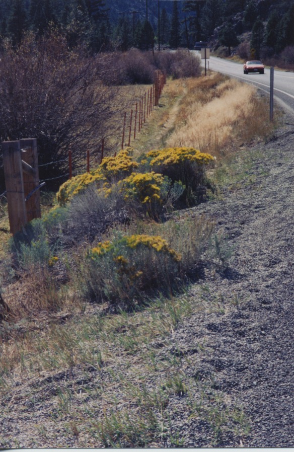
I visited June Lake and Lundy Lake at different seasons. A friend and I went exploring in the autumn and drove around Lundy Lake. Here, below, are rabbitbrush blossoms. Rabbitbrush is a member of the daisy family. It is not related to sagebrush.

SN007W Sage Flowers at June Lake

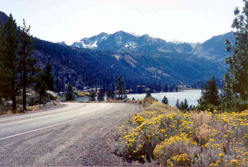
SN014W Road to Lundy Lake

The road to Lundy Lake, above.  The 10-foot tall stakes at intervals along each side of the road are there to mark the road when it snows. On the ground today, at the end of March, beginning of April, they have 91-100 inches, that’s around eight feet.

SN017W Autumn on Road to Lundy Lake

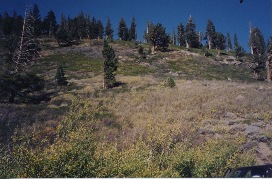
Autumn on the road to Lundy Lake; quaking aspen leaves turning gold, and white fir trees.

Aspen Doubloons

When the leaves of quaking aspen trees, above, change color in the fall, they look like gold doubloons shivering in the breeze.

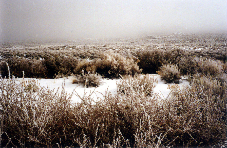
Tule Fog

Tule fog on sagebrush along the June Lake Loop. Obscured in the distance is Mono Lake.

Tule Sage 300 copy

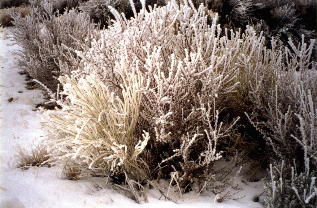
Crystal Sage 300 copy

Tule fog crystals on sagebrush, above.

SN011W June Lake Sage Flowers


SN008 Sage Flowers on June Lake Loop

June Lake Loop and rabbitbrush flowers. Rabbitbrush is a member of the daisy family.

Below are scenes we passed along the way.

Lundy Lake Hill & Pines

Lundy Lake Area 1

Dead Lodgepole & Minaret Vista

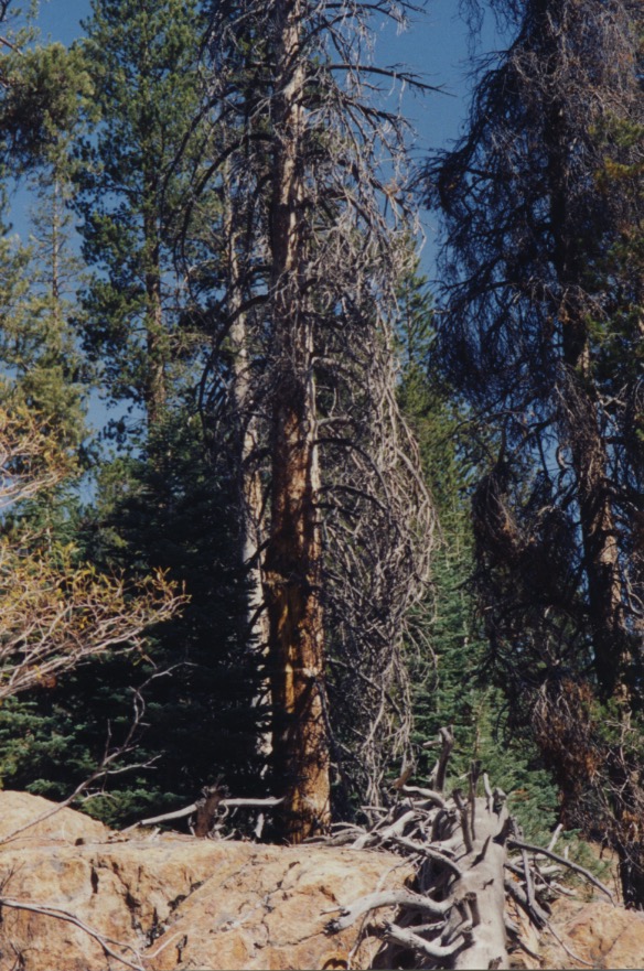
Lodgepole pine, above. Lodgepole pines grow straight, so they make good lodge poles.

Glacial Moraine

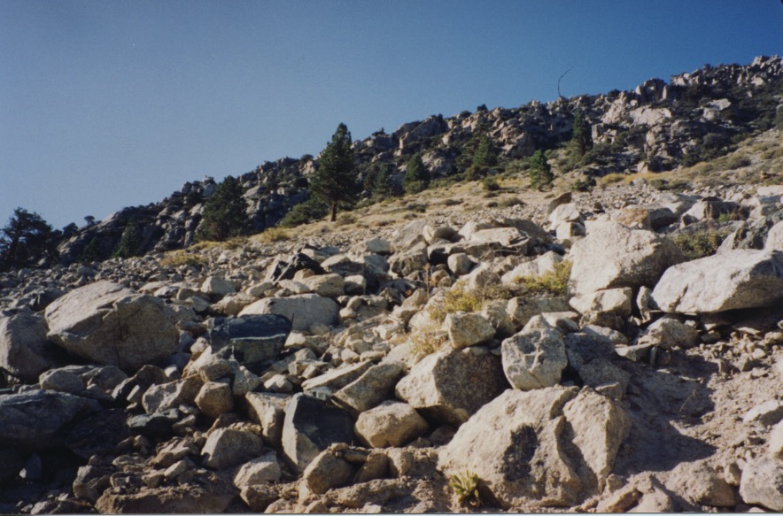
Glacial moraine.

Dead Lodgepole & Minaret Vista 1

Minaret Mountain vista, in the distance.

June Lake from Hill

June Lake.

Dead Lodgepole & Minaret Vista 2

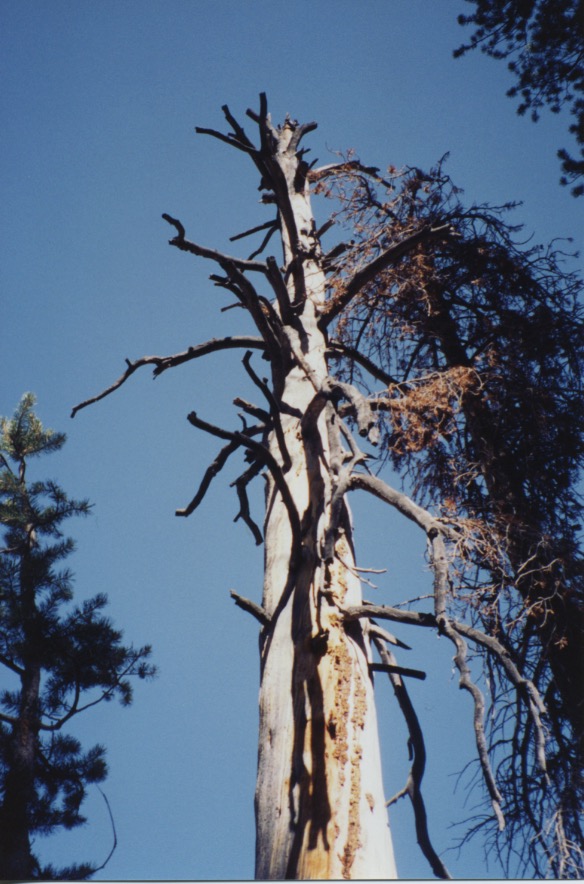
Dead lodgepole pine.

June Lake from Hill 1

June Lake.

SN018W Carson Peak

June Lake Loop and Carson Peak.

–Samantha Mozart

Iron Horse

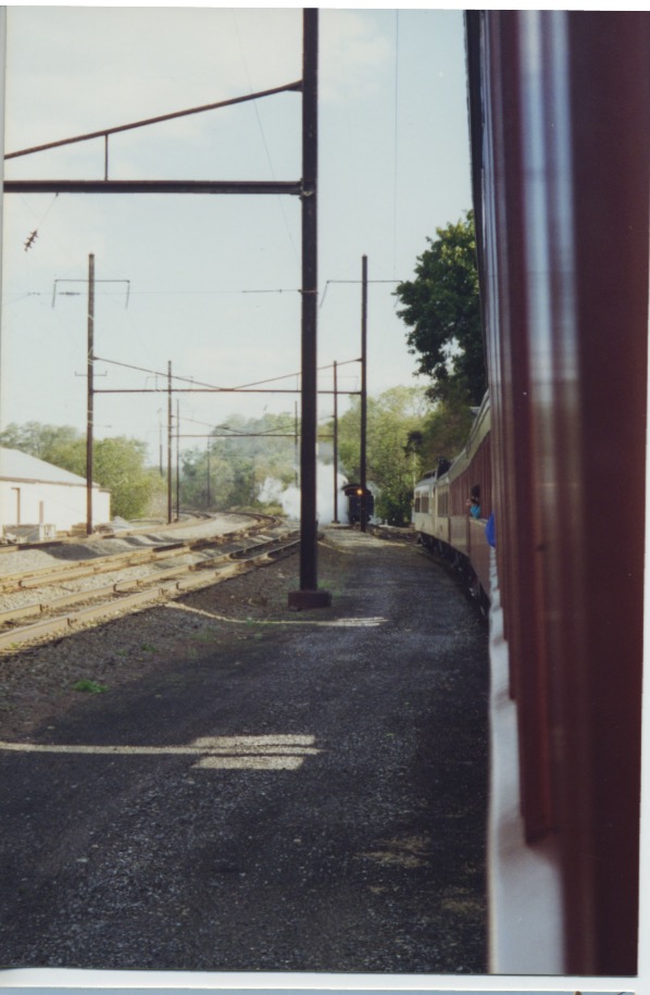
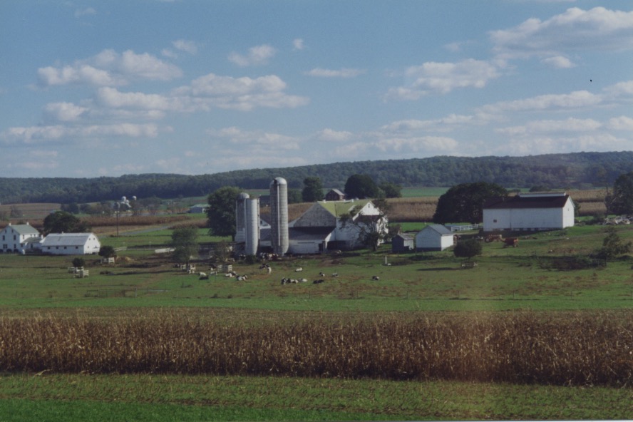
The Strasburg Rail Road is a heritage railroad operating an excursion train line pulled by steam locomotives through the heart of Pennsylvania Dutch and Amish farm country in Lancaster County, Pa. The Strasburg Rail Road began operations in 1832 and was horse drawn until 1851 when the railroad purchased a Norris built 4-2-0 steam locomotive named The William Penn. The Strasburg Rail Road is the oldest, continuously running passenger railroad in the world. My family and I enjoyed the four and a half mile, 45 minute coach car ride in 1995. An optional ride, one we didn’t take, is lunch in the wooden dining car. This is said to be the only operating wooden dining car in the United States. Our trip took us from Strasburg to Paradise — and back. Naturally, I photographed our adventure. Here are some of the pictures:

Strasburg RR loco 1

Strasburg RR Amish

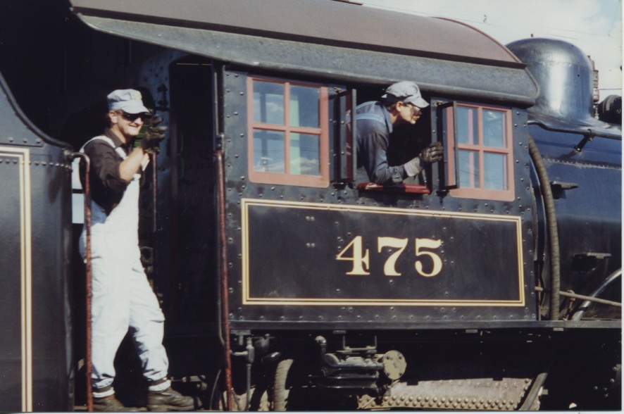
No. 475 is a 4-8-0 (wheel alignment) built at the Baldwin Locomotive Works in 1906.

Strasburg RR 1

2nd enging & tank 1

Strasburg RR 2

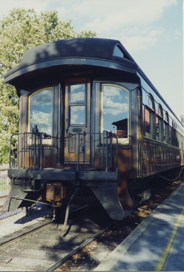
A passenger coach like the one we rode in.

Strasburg RR 3

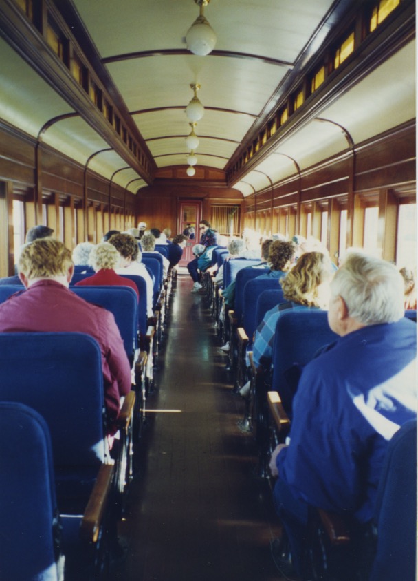
The passenger coach we’re riding in.

2nd enging & tank

Below, Amish traveling by horse and wagon.

Strasburg RR Amish 1

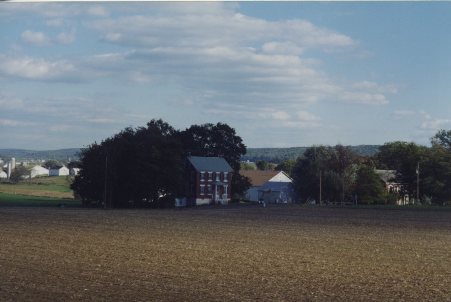
More views of Amish farmland.

Farmland & PRR Car

Farmland & PRR Car 1

End of the line:

Strasburg RR

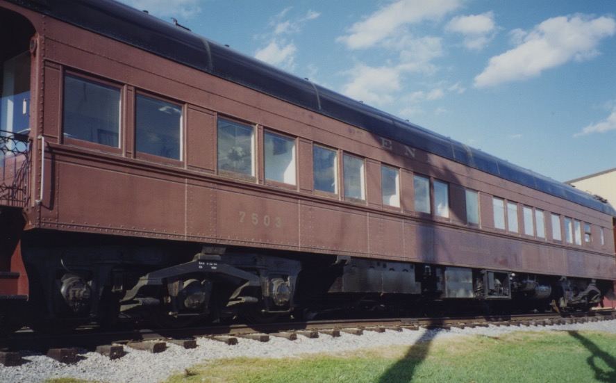
Below, on a siding, sits an old Pennsylvania Railroad passenger car — not so old that I don’t remember riding in one of these on my many Pennsylvania Railroad journeys, starting when I was very young. I remember standing on the Pennsylvania Railroad 30th Street Station subterranean platform in Philadelphia, being enveloped in clouds of steam when the steam engines would pull the train into the station.

Farmland & PRR Car 2

For you to get an idea of the locomotive in motion and what it feels like to ride the train I have included the link to this four minute video:

Strasburg Rail Road featured on BBC’s Great American Railway Journeys

–Samantha Mozart

Harpers Ferry

Confluence of Potomac-Shenandoah HF001

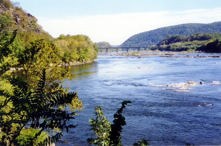
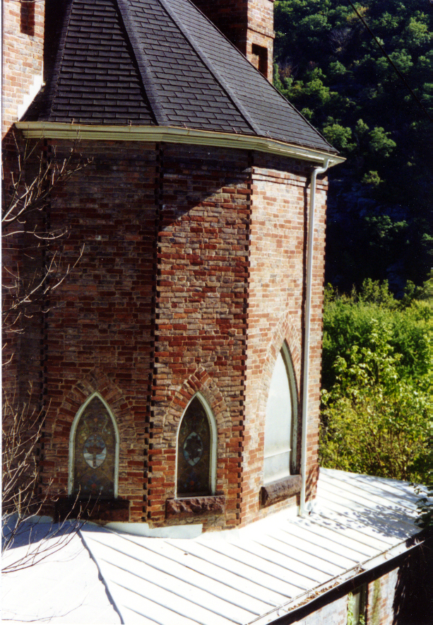
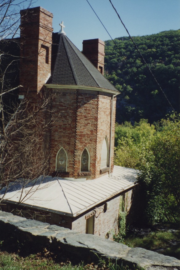
Harpers Ferry, W. Va., is located where the states of West Virginia, Virginia and Maryland meet, situated at the confluence of the Shenandoah and Potomac (uppermost) Rivers, as you can see in the photo above.

Quaker colonist Robert Harper was granted a tract of land here in 1734 and in 1761 he built a ferry across the Potomac, opening the way for settlers to move into the Shenandoah Valley. In 1763 the Virginia General Assembly established the town of “Shenandoah Falls at Mr. Harper’s Ferry.” In 1796 the federal government purchased a parcel of land from Robert Harper’s descendants and built an arsenal there in 1799. The Chesapeake & Ohio Canal reached Harper’s Ferry in 1833, linking the town to Washington, D.C., and a year later the Baltimore & Ohio Railroad came through. On October 16, 1859 abolitionist John Brown led a raid on the arsenal, hoping to use the weapons to initiate a slave uprising in the South. The first shot fired alerted residents even from surrounding towns. Lieutenant Colonel Robert E. Lee was called from leave to lead the expedition against the raiders, with Lieutenant J.E.B. Stuart as his aide-de-camp. In the end, Brown was tried for treason and hanged. It is said this raid was a catalyst for the American Civil War.

Not surprisingly, since the lower part of the town is built on a flood plain, Harpers Ferry is prone to devastating inundation. A guide pointed out to me the waterlines of the Johnstown flood and other floods high up on the walls of the buildings.

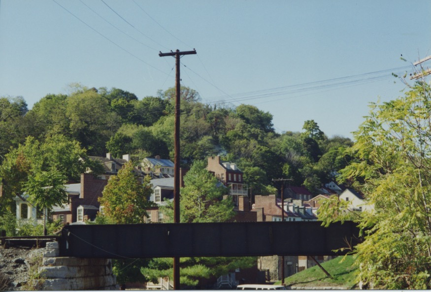
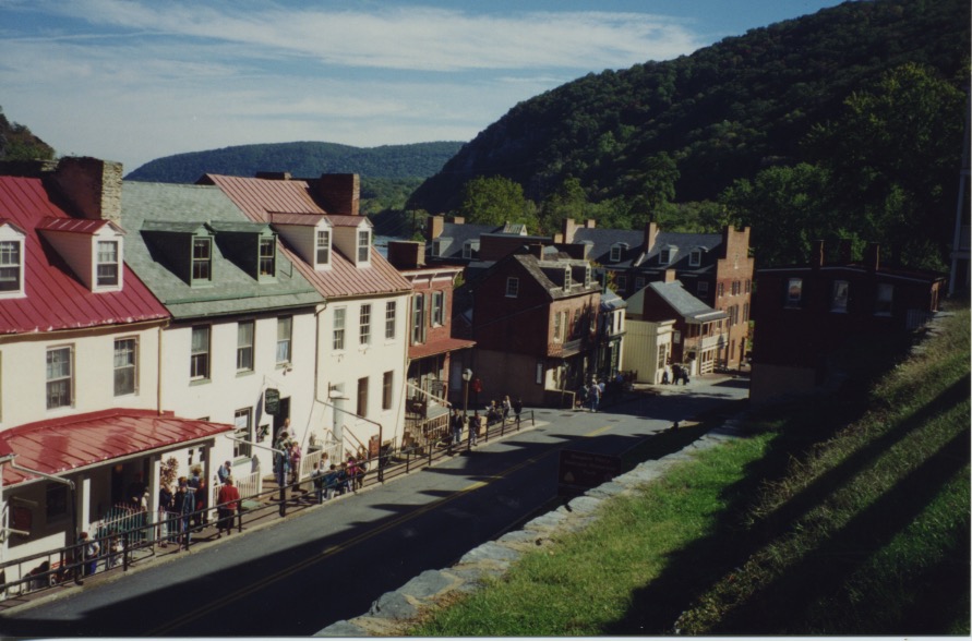
Thomas Jefferson, who visited Harpers Ferry on October 25, 1783 with his daughter Patsy, called the site “perhaps one of the most stupendous scenes in nature.” I agree with Thomas Jefferson on a number of things and this is certainly one. Everywhere I looked, I wanted to take a picture. I could not stop. I remember my mother and her poodle BeeGee patiently sitting on a bench while I ran hither and thither photographing everything. I hope you will enjoy these scenes I have posted here.

Picket Fence-Golden Tree HF003 300

Apse HF009

Roofs HF006

Shenandoah River HF007 300

Piers for an old bridge crossing the Shenandoah.

Train X Potomac HF008

This is the B&O Railroad track crossing the Potomac.

Harpers Ferry 4

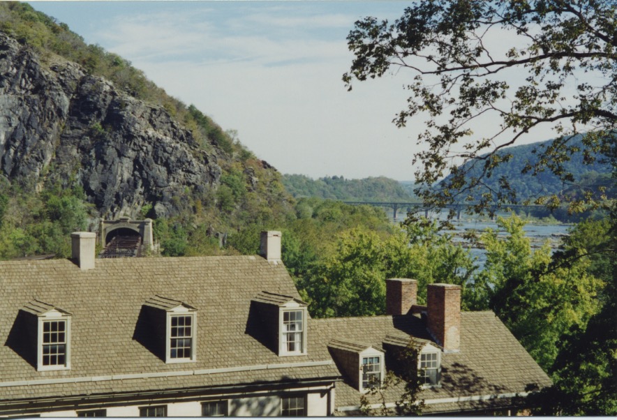
B&O Tunnel-Harpers Ferry

Harpers Ferry 1

Harpers Ferry 2

Arsenal Steps

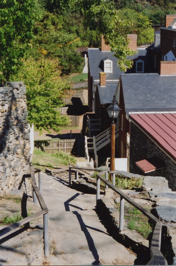
Steps up to the arsenal.

Harpers Ferry 6

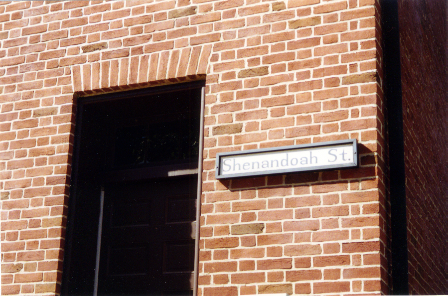
Shenandoah St HF004

Harpers Ferry 5

Harpers Ferry

HF002W North Wall

Harpers Ferry 3

–Samantha Mozart

Great Atlantic & Pacific Tour Company

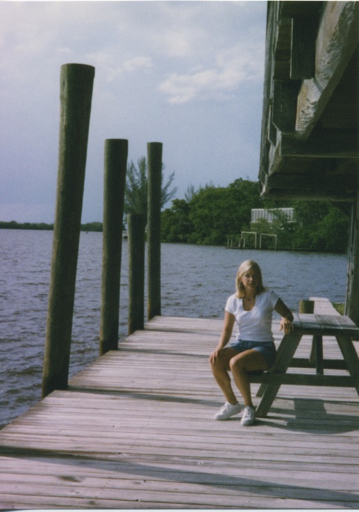
I have traveled up and down the East Coast and across country, from the Atlantic to the Pacific and from the Pacific to the Atlantic, with my mother and my daughter. They have been great company to travel with. Here’s a picture I took of them on Marco Island, Fla., in 1993.

Mother-K Marco 1

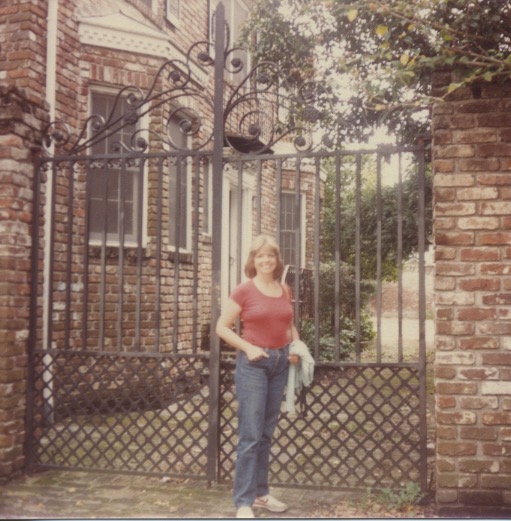
I have driven across country alone and I have traveled with family and family dogs. My first trip across country was with my mother, brother and grandfather when we flew to Tucson, Ariz., in 1958 to visit cousins, my grandfather’s branch of the family with the gypsy gene who had migrated out there from Philadelphia 20 or 30 years earlier. A fan of Westerns, I was thrilled to be in Cowboy Country. In those days to get from Phoenix to Scottsdale, you had to drive across miles of open desert. In 1967 my husband, four-and-a-half-month-old daughter, Kellie, and I drove from the East Coast to Southern California to live, courtesy of the United States Navy. In 1985, Kellie, her boyfriend and I drove from Los Angeles to Wilmington, Del. Here I am in Charleston, S.C. I have a funny thing about Charleston: I am compelled to look at all the graveyards, studying the names on the tombstones to see if I recognize myself from a former lifetime.

1985 Trip Carol-Charleston

On that same trip, here are Kellie and I in Goodyear, Ariz., near Phoenix.

1985 Trip K & C Goodyear

In 1999 I was living in Naples, Fla. Here are two photos, below, from when Kellie came to visit me and I took her to Chokoloskee Island, just south of Everglades City. After she got back home to California, trying to remember where I took her, she asked me, “What was the name of the chocolate place?”

Chokoloskee 1999 1

Chokoloskee 1999

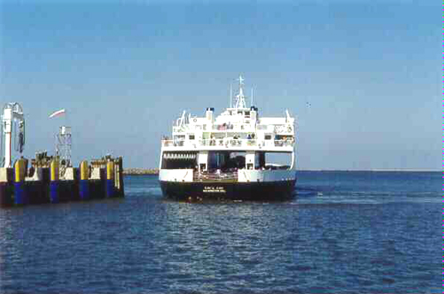
Here are my mother and her toy poodle BeeGee (Beau Geste), in 1995. The three of us are waiting for the Cape May-Lewes Ferry.

Mother-BG CL Ferry

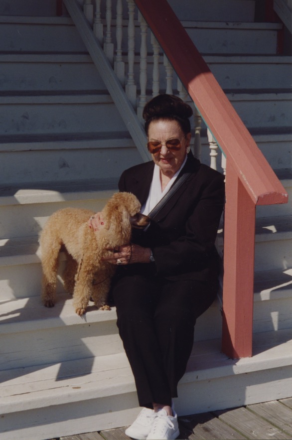
Here are my mother and BeeGee at the south end of the Avalon, N.J., boardwalk, sitting on the steps of a restaurant, 1995.

Mother-BG Avalon '95

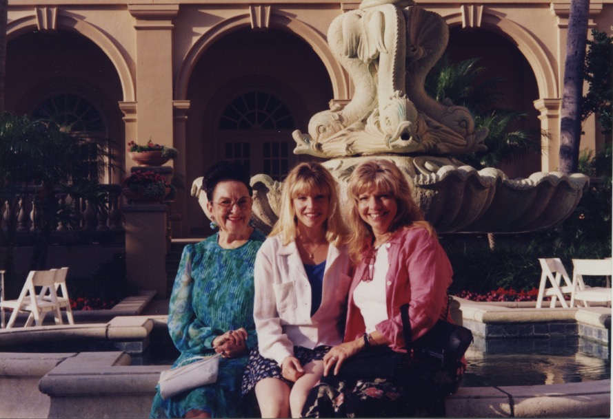
Again, my favorite tour companions after tea at the Ritz, Naples, Fla., 1997.

Mother-K Marco

–Samantha Mozart

Ferryboat — The Cape May-Lewes Ferry

This is a brief photo essay of the Cape May-Lewes Ferry’s crossing at the mouth of the Delaware Bay between Lewes, Del., and Cape May, N.J. The ferryboats make several trips daily, year-round. A one-way voyage takes approximately an hour and a half. Lewes, a Dutch name, is pronounced “Lewis.”

CL001W Dock Pilings

Dock pilings at the ferry berth on the Delaware side.

Ferry Ramp & Breakwater

Ferry ramp.

CL002W Cape May-Lewes Ferry

Here comes the ferry.

Boarding & CM Coast

Ferry unloading travelers from Cape May.

Boarding & CM Coast 1

Waiting to sail.

Ferry Ramp & Breakwater 1

Sailing out alongside the breakwater.

CL004W Breakwater Beacon-Lewes Del


Lighthouse marking the end of the breakwater and the channel.

delaware-reference

Ferry route and map of surrounding area where I live.

Passing Ferry 1

Passing ferry coming from Cape May.

Passing Ferry

Passing ferry wake.

Coming into Cape May

Coming into Cape May.

Coming into Cape May 1

Coming into our berth.

CL005W Ferry Wake

Ferry wake.

Happy Travels.

–Samantha Mozart

Eastern High Sierra Nevada Mountains

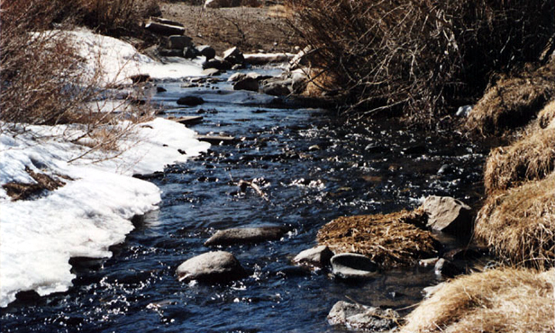
XM003AW Mammoth Creek

Above is my photo of Mammoth Creek.

I worked for a commuter airline in the late 1980s and early ’90s that flew out of Los Angeles International Airport (LAX) to Mammoth Lakes, Calif., in the Eastern High Sierra Mountains, so, making the most of my good fortune, I spent as much time as I could exploring Mammoth Lakes, elevation 8,000 feet, and nearby Mammoth Mountain world class ski resort, elevation just over 11,000 feet.

Even before I worked for the airline, the airline crew invited me to fly for free with them to Mammoth — and to the Grand Canyon, their other destination, where they flew mostly Japanese tourists. The airline personnel were among my customers on an Executive Lunch Route I ran for a catering company, selling sandwiches and salads to office workers. I ran the only route that had flight benefits. When the owner of the airline, who resembled Woody Allen, hired me, he said he did so because I wore shorts.
Dog Sled & Mt Whitney

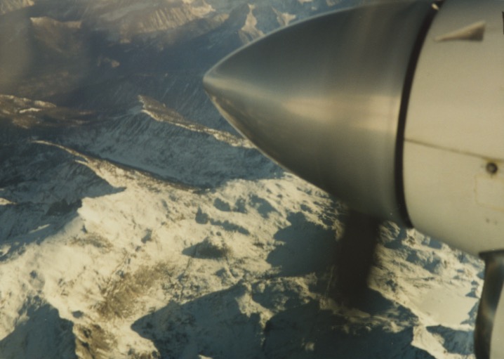
Looking down on Mount Whitney from 15,000 feet. Mount Whitney is the highest summit in the contiguous United States, elevation 14,505 feet.

Mammoth Airport MM002

Mammoth Airport.  No, this isn’t our airline’s airplane. To Mammoth and the Grand Canyon they flew a Beechcraft 1900C, 19-passenger turbo prop, and a seven-seat Cessna 421 (piston engine). For the system of weights and balances, the Cessna could safely fly seven Japanese or five Germans to the Grand Canyon. Sometimes we’d fly from Mammoth down to Bishop, a short flight of a few minutes. When you take off out of these airports you have to fly straight up, as best you can; otherwise, you’ll fly into a mountain. And the flight between the airports is bumpy, because of the crosswinds and drafts.

The mountain you see in this photo is Mount Morrison. It has a storied history. Behind it is Convict Lake, pictured below, where on September 23, 1871 a posse encountered escaped convicts from a Carson City prison. Robert Morrison, a posse member and Wells Fargo agent, was killed. The mountain was named after him. In February 1990 twelve teenagers and two counselors were on an outing at the lake. They fell through the thin ice. Three teenagers and four would-be rescuers drowned. Just before their deaths they had been warned that the ice was too thin to support their weight. Movies have been filmed at Convict Lake.

MM003W Three Boats on Convict Lake

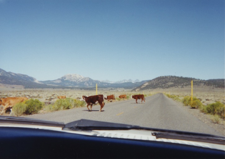
Driving from Mammoth Airport to the town of Mammoth Lakes.
MMH & W. Sierra - Cheryl & Me 2

Dog Sled Adventures:

Dog Sled Adventures XM008

I went on a dog sled ride on Mammoth Mountain.

Dog Sled & Mt Whitney 1

A friend, Katherine, and I at the top of Mammoth Mountain, 11,053 feet elevation. You may have seen car commercials made on this spot. The Minaret Mountains are across the ravine behind us. Before motor powered vehicles, when someone was injured up in those mountains, they’d have to run a dog sled team up there to the rescue.

Sled Dogs

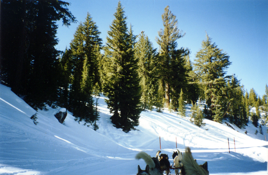
The dogs don’t like to be still. They’d rather be pulling a sled. This was a warm day, temperatures in the low 50s F; the dogs had just pulled us about 3,000 feet up the mountain and they were resting. The sled dog owner puts the big dogs in the back to pull the sled and the small dogs in the front. The dog on the front left is the lead dog who follows the owner’s commands. The dog on the front right is learning.

Soaring Spirits 300 copy

The owner of this house in the Mammoth Lakes community, on his phone answering machine, said he was out back feeding the bears.
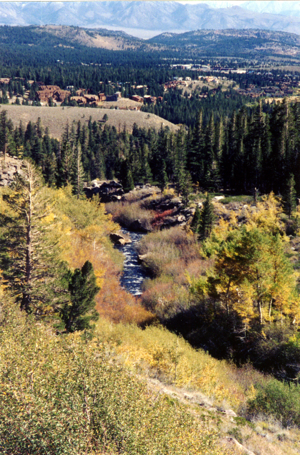
Juniper Ridge MM012

This is Juniper Ridge, where they were planning a housing development.

SN010W June Mtn Meadow & Horses

Horses in the Agnew Meadows area, near Mammoth.
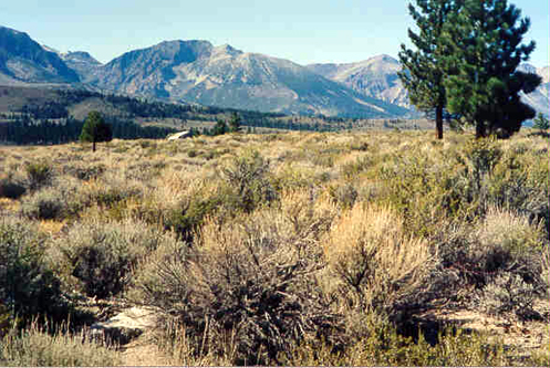
SN012W Cowboy Country

Cowboy Country — that’s what I call it. This is the common terrain and ground cover in Mono County, Calif.; that is, eastern central California, along the Nevada border. (Mono is pronounced with a long “o”.)
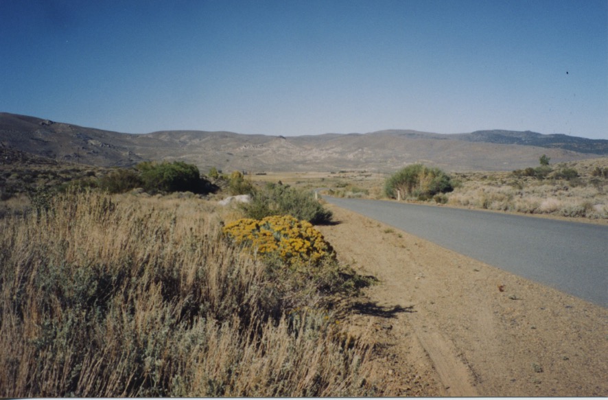
Mono County

God’s country.

Stamp Mill & Indian Dances

My friend Roland at Old Mammoth Mine Stamp Mill. I visited another gold mine in Mammoth with another friend. I went inside. I hadn’t gone far when it occurred to me that there could be an earthquake, so I turned around and came out.
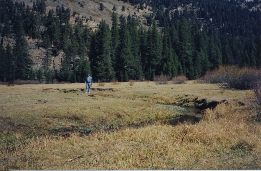
Roland - Agnew Meadows

Roland in Agnew Meadows.

Stamp Mill & Indian Dances 1

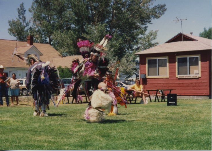
American Indian dances at Bridgeport, Calif. Unfortunately, my camera couldn’t zoom in close enough to capture the vivid colors of the Native American attire. My friend and I spent a wonderful, hot July afternoon — 90-some degrees F, but no humidity — among these people. I bought a silver ring from a Shoshone woman who had made the ring from a Navajo mold.
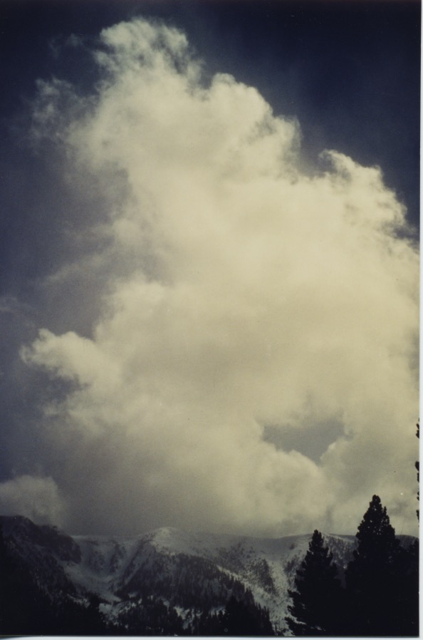
Snow Cloud & Slide 1

The photo above of a snow cloud and the photo below, both of the Sherwin Mountain range at Mammoth Lakes are prints made from slides, and I haven’t been able to get the color and lighting just right; but I like the scenes.
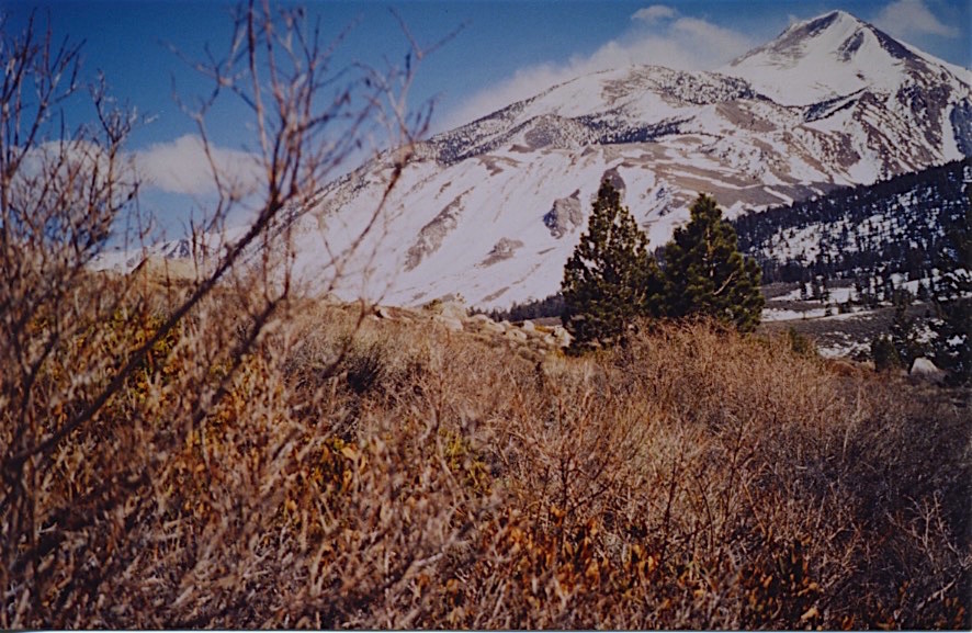
Snow Cloud & Slide

–Samantha Mozart

Delaware Pastoral Scenes

Noxontown Pond

Noxontown Pond at St. Andrew’s School, Middletown. This is one of the scenes from around where I live in central Delaware. Below are more.

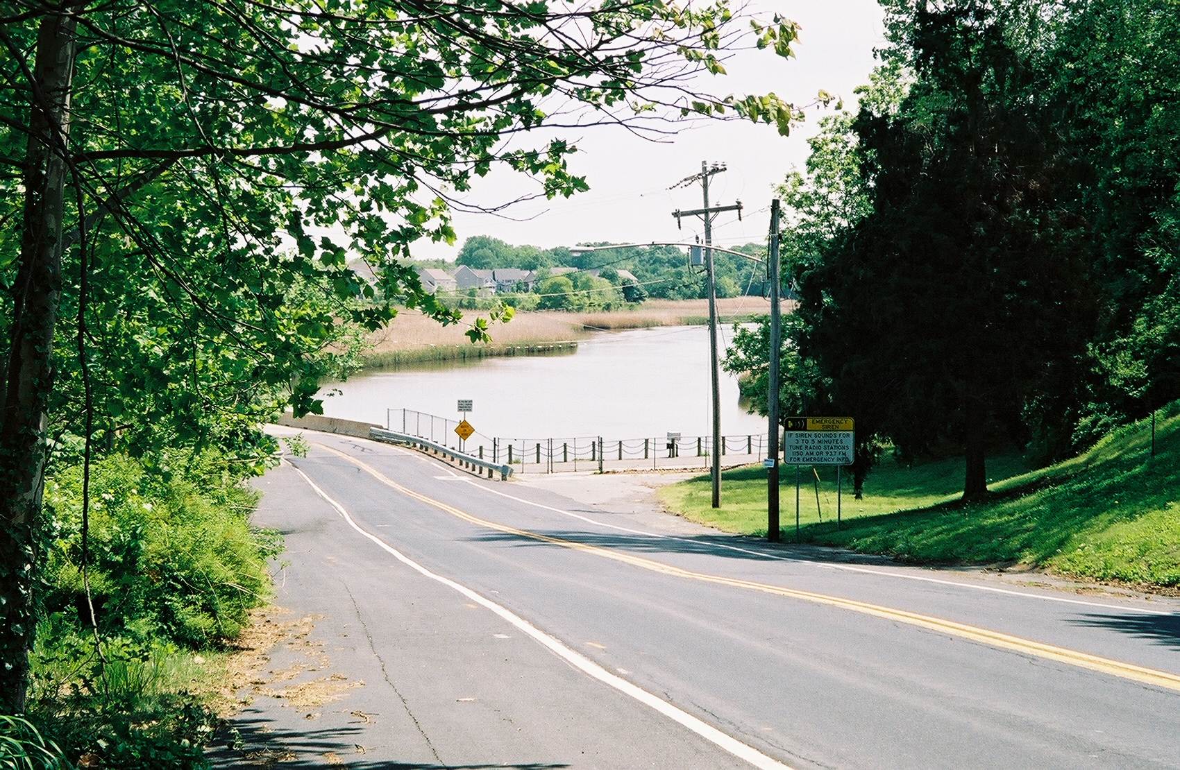
Silver Lake Bridge

Bridge across the Silver Lake spillway into the Appoquinimink River, Middletown.

Zen Bridge, Wynnewood 1

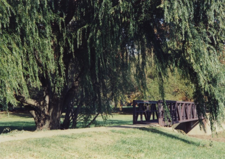
Footbridge across Naaman’s Creek in a small park and woods at the end of the street where my mother lived north of Wilmington.

Bob's Barn

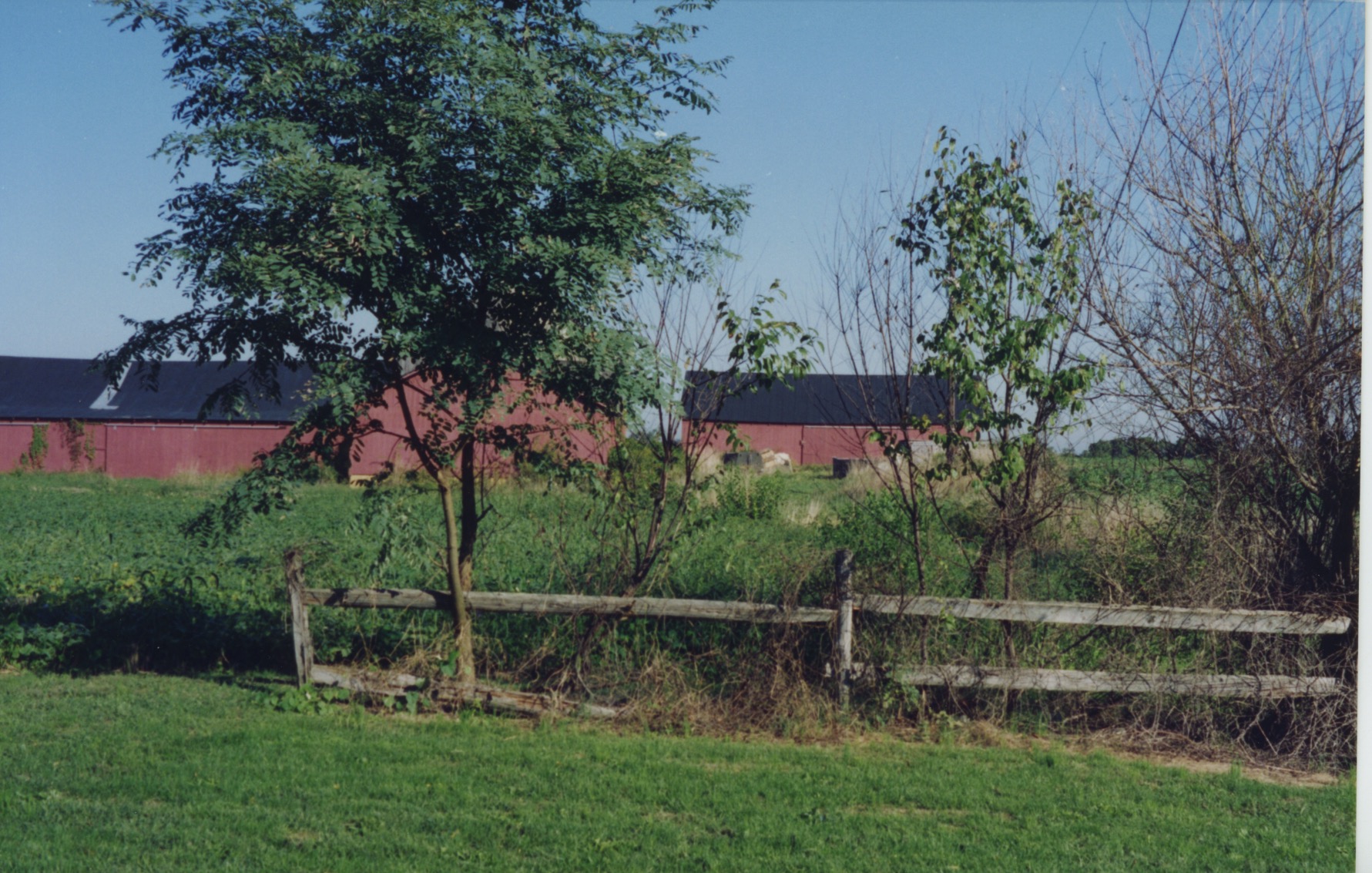
Red barn on a farm where my brother lived at Summit.

Willow & Spruce

Scene on the farm where my brother lived at Summit.

Blackbird Creek, viewed from Taylor's Bridge

The view from Taylor’s Bridge of Blackbird Creek.

Blackbird Creek Branch

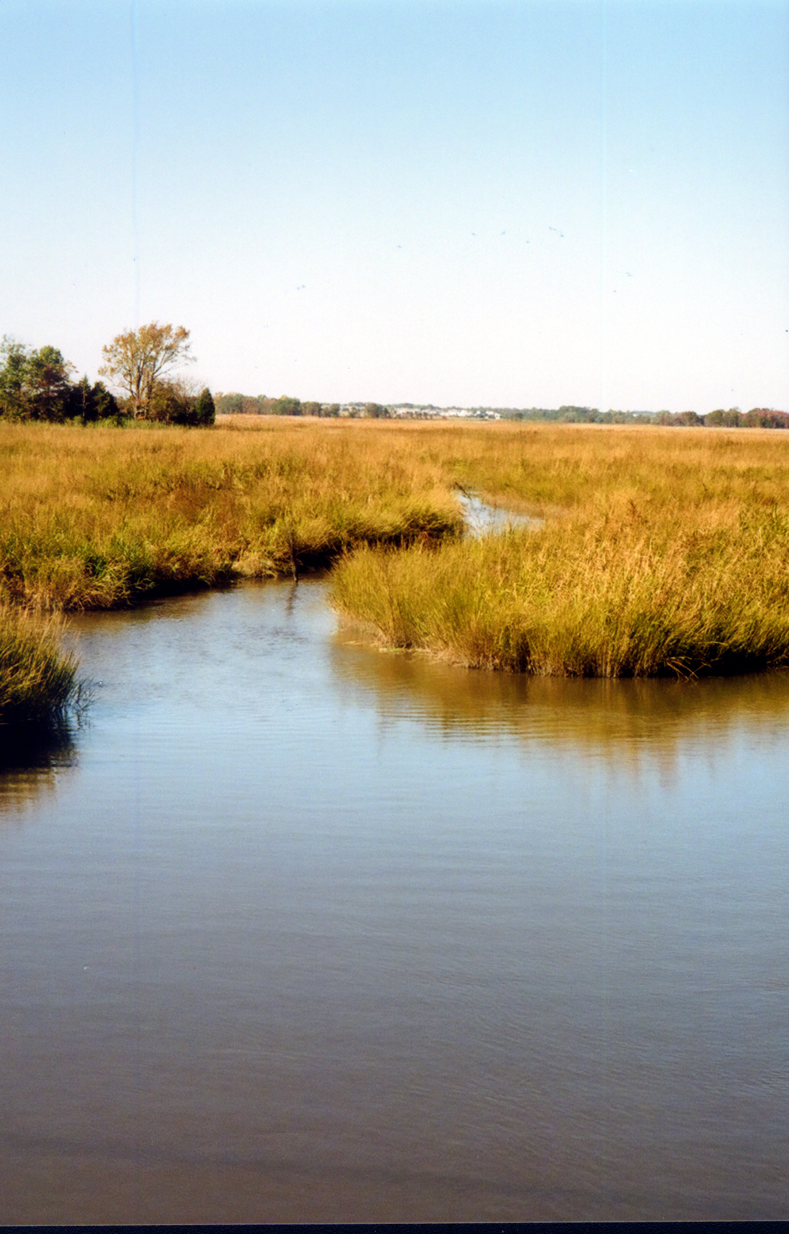
The pristine Blackbird Creek and marshes.

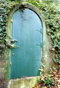
Green Door 300

Green door by the St. Andrew’s School boathouse on Noxontown Pond, Middletown.

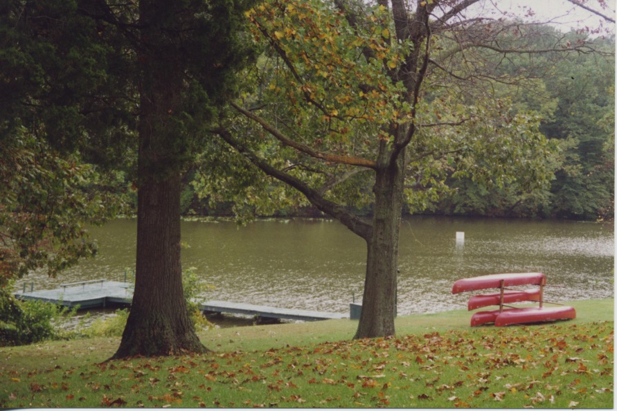
T-Dock & Red Canoes

Red canoes and T-Dock on Noxontown Pond at St. Andrew’s School, Middletown.

Founders Hall & Cloister

Founders Hall, St. Andrew’s School, Middletown.

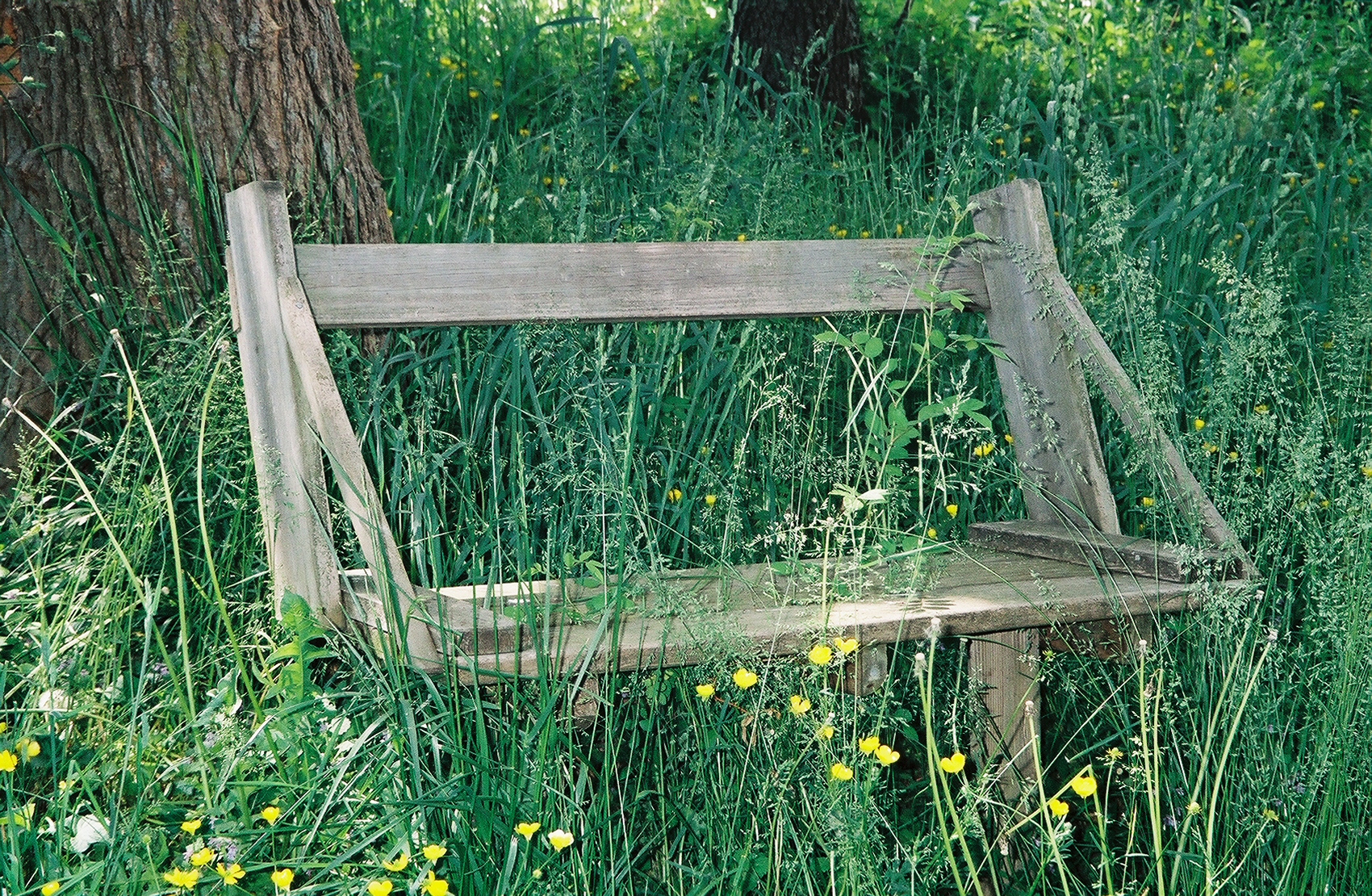
Bench & Buttercups-Silver Lk Splwy-021-9

Bench at the Silver Lake spillway into the Appoquinimink River, Middletown.

13A Appo River from Main St Odessa-063-30

The bridge across the Appoquinimink River at Odessa. This historically preserved town was known in the 18th century as Cantwell’s Bridge.

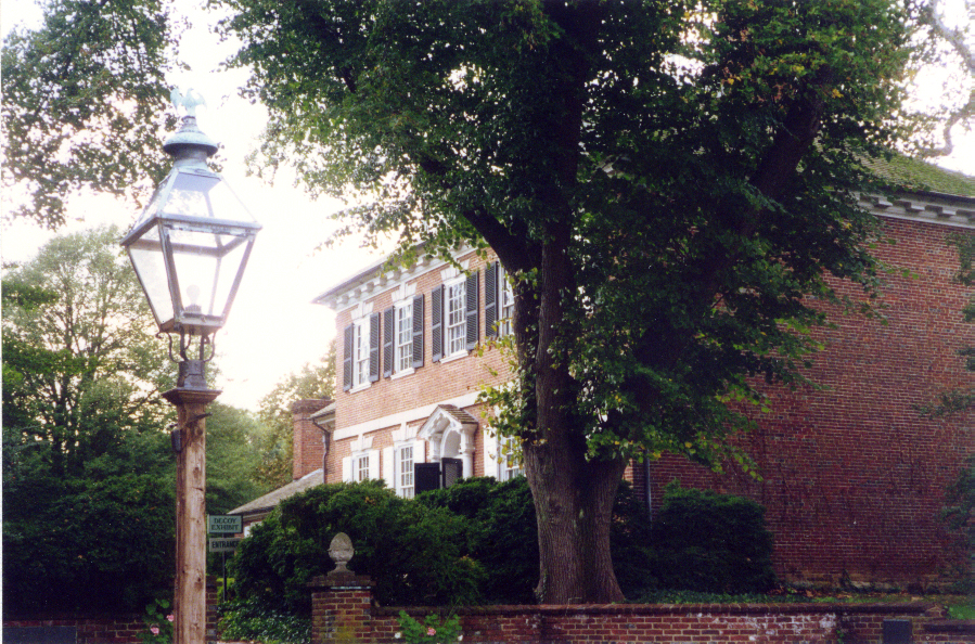
Corbit-Sharp Hse OD002

The Corbit-Sharp House, one of the Historic Houses of Odessa.

3796602-R1-027-12

The view of the Appoquinimink River from the Corbit-Sharp House, Odessa.

Pumpkins 300 copy

Pumpkins and gourds at Odessa.

12 Old St Annes Church & Graveyard-029-13

The historic graveyard at 300-year-old Old St. Anne’s Episcopal Church, Middletown.

Opera House Soaring Crop

And I couldn’t resist including my photo of the historic, restored 1870 Smyrna Opera House, Smyrna.

–Samantha Mozart


Chiricahua Wonderland of Rocks

Driving south from picturesque Wickenburg, Ariz., and Phoenix, I headed down to Sunizona, down near the Mexican border, southeast of Tucson, and the Sunizona Motel where I stayed for a couple of nights. The photo below shows the view from the motel, looking west at the Dragoon Mountains. The husband and wife motel owners were friendly and went out of their way to accommodate my wishes. The wife was a writer and we agreed to write a book together one day. We haven’t yet. I was eating breakfast there one morning when a guy in a white pickup pulled up in front, nose in. He climbed down out of the cab, sauntered into the cafe, moseyed over to the breakfast bar and sat on a stool at the counter, gun in the holster at his hip. To the locals, such an assemblage must have been commonplace, for no one took special notice. He ordered his breakfast and I finished mine and got out, wondering whom he had a hankering to shoot.

AZ018W Sunizona

Outside, I climbed into my Hyundai and from the motel drove a short distance southeast to the Chiricahua Mountains. I was tracking Geronimo.

Into the Hills 1

Into the Hills

I headed into the hills towards Faraway Ranch and the Chiricahua Wonderland of Rocks.

AZ001W Sign

Road Into Faraway Ranch

I encountered deer as I walked along this road into Faraway Ranch. I shot them in photos but the photos are not very good. I couldn’t get a closeup.

Marker & Ranch House 1

When I visited Faraway Ranch this day in 1994, I knew little about its origins and history. I do recall reading that Lillian Erickson Riggs and her husband arranged horseback tours for the guests into the Wonderland of Rocks. This image, below, I copied from the Internet tells more of the story:

SE-AZ-Faraway-Cemetery-Plaque-22

I did photograph this marker:

Marker & Ranch House

Yes, Tucson and surrounding Southern Arizona range from about 4,000 to 6,000 feet above sea level, not counting the higher mountain elevations. So, if you visit in winter, don’t wear shorts. It snows — not deep, but a good dusting.

Small House & Chiricahua

AZ006W Corral & Ocatillo

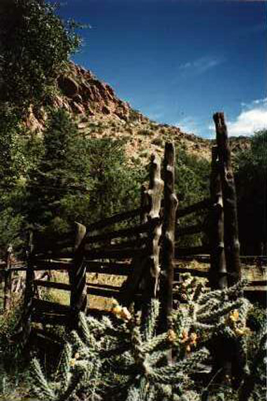
Above is an ocatillo cactus growing against the fence with the overgrown corral behind it.

Balancing Rocks

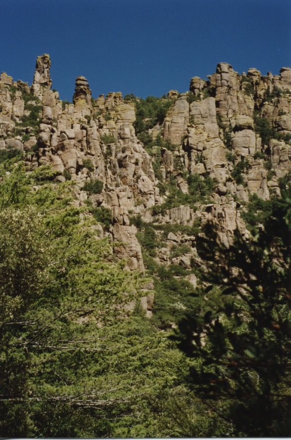
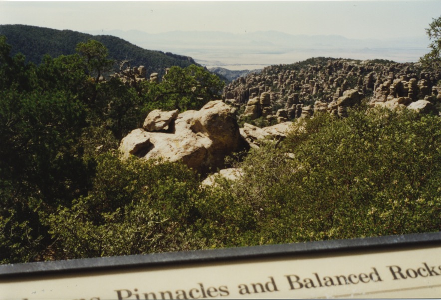
In 2008, eighty percent of the Chiricahua National Monument was listed on the National Register of Historic Places, called The Chiricahua National Monument Historic Designed Landscape, consisting of Faraway Ranch and within the Chiricahua Mountains hoodoos (alternating layers of hard rock protect the soft rock from the elements) and balancing rocks, formed from volcanic ash and pumice.

Small House & Chiricahua 1

This is the land of the Apaches. Mexicans and Americans tried to claim this land as their own, and their tactics were equally as barbaric and brutal as those of the Apaches. This is the home of Geronimo. This is Cochise County. Cochise (c. 1812-74) was a Chiricahua Apache chief. Geronimo was born here into the Chiricahua Apache tribe June 16, 1829. In 1851, a Mexican militia surprise attacked an Apache camp. Geronimo was away at the time. He returned to find his mother, his wife and his three children, his family, dead, killed by the Mexicans. For the rest of his life, Geronimo and his band of followers waged revenge, especially against Mexicans, but against Caucasian Americans, too. Geronimo and his band often hid out in the Chiricahua Mountains and the Sierra Madre of Mexico. Yet, he was captured and was held as prisoner of war. He broke out three times. The Apache prisoners were sent to Florida and then to Fort Sill, Okla., far from their homeland. Geronimo became a celebrity in traveling Wild West shows. Ultimately, Geronimo rode horseback with five Indian chiefs at the 1905 inaugural parade and days later he met with President Teddy Roosevelt and asked that the Apaches be relieved of their prisoner of war status and be allowed to return to their native land in Arizona. The president refused, citing continued animosity in Arizona for the civilian deaths resulting from Geronimo’s raids during the prolonged Apache Wars. Geronimo died on February 17, 1909 at Fort Sill Hospital, still a prisoner of war. He was buried at Fort Sill Indian Agency Cemetery. Geronimo is said to have held supernatural gifts. He could see things happening far away, as they were happening; and he was a healer. I hiked around this land on a still, warm October day, and a ways up into these Chiricahua hills. I sensed the spirit of the Apaches around me, ostensibly Geronimo, free to roam, free to live off the land, watchful. And that’s when I spotted the deer watching me. I snapped some photos. Up in the Chiricahuas a mystical, transcendent quality pervades the trees, the scrub and recesses among the rocks. It enveloped me like an incense. I could envision one hiding out in those mountains for a long time. For a long time, in the scrub of my nature, in the recesses of my spirt, still, the spirit of Geronimo abides, like a musical suspension, a prolonging of a note of one chord into the next.

Geronimo. Photo by Frank A. Rinehart, 1898.

–Samantha Mozart


Beaches: Avalon & Ocean City, New Jersey

img007

Avalon, N.J., is a quiet town on Seven Mile Island, one of the barrier islands south of Atlantic City. The borough of Avalon shares this island with the borough of Stone Harbor, to the south. My mother owned a home here in Avalon, on the beach. She hosted friends for weekend visits and family — children and grandchildren — for long stays. These were happy days with many fond memories for us all. Ed McMahon, Joe Paterno and Taylor Swift have summered here; in fact, Ed McMahon’s home was near my mother’s.

av016-96-res

Avalon Boardwalk, looking north.

Avalon Pavilion & Benches

The pavilion at the north end of the boardwalk.

avalon-salty-surge

Avalon Boardwalk & Steps

Avalon has a lovely beach for taking long walks.

avalon-serpentine-path

Avalon Atlantic Waves

The upper left of this photo looks north across Townsends Inlet, the bay inlet between the islands, to Sea Isle City and Strathmere, on Ludlam Island, which sits below sea level, first used as a fishing grounds for the Leni Lenape Indians, then as a stopover for pirates, and beginning in the 1800s, as with all of these South Jersey islands, a summer vacation place for Philadelphians. In my family, as in many, the men would go to their jobs in the city and after work, commute down to the shore, about an hour, by train. I stood on a jetty to take this photo.

Avalon Gold Dune Grass & Blue Surf

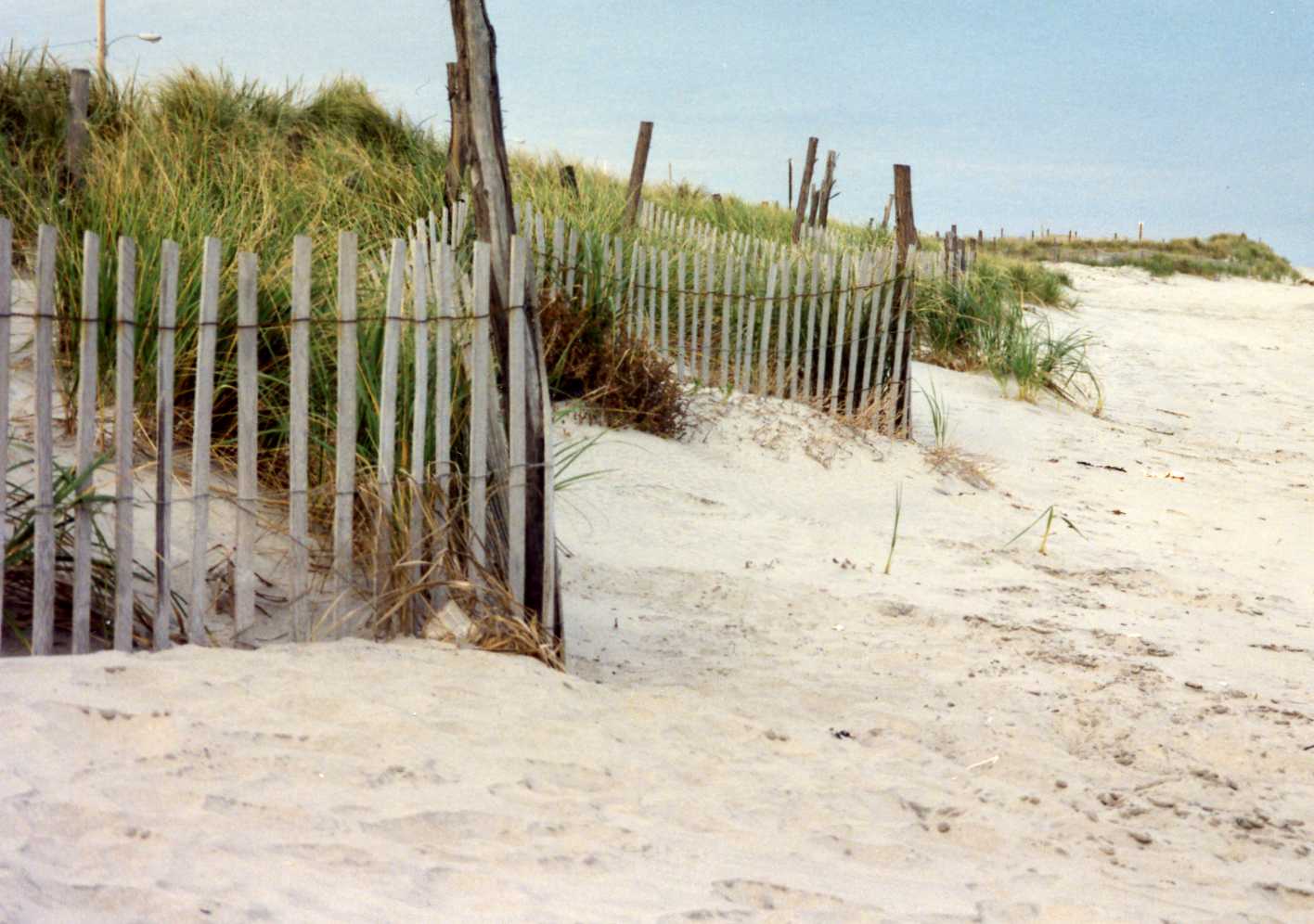
AV008W Snow Fence Sea View

Avalon Yellow Flowers 95

Beach goldenrod, growing in September and October in the dunes along the boardwalk.

I’ve inserted a great, detailed National Geographic map here:

Nat'l Geog Map

Take the Ocean Highway — follow the seagull on the sign — across Townsends Inlet to Sea Isle and continue north through Strathmere along that island to Corson’s Inlet and cross to Ocean City (Peck’s Beach Island, named for whaler John Peck). Ocean City is a dry town, founded by the Methodists as a retreat camp. Because the town is dry it is billed as a family vacation resort. The two and a half mile long boardwalk is wonderful and said to be one of New Jersey’s finest. My family owned a home here before I was born. Sometimes during our stays in rental homes we’d see Grace Kelly’s family on the beach in front of the home they owned near the south end of the island. Author Gay Talese and his wife own a home in The Gardens, at the north end of Ocean City.

Below is a picture of the Ocean City boardwalk, also scenes of the music pier and some of the summer homes along the avenues.

OCNJ new


OCNJ Music Pier

Don’t be misled by the sandy beach to the right of the Music Pier. The sand must constantly be replenished. When the beach washes out during storms, the ocean comes right up under the pier and at high tide the breaking waves splash through the cracks between the boards on the boardwalk.

OCNJ House Row

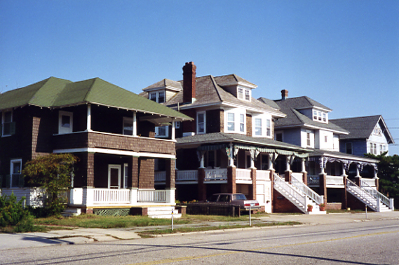
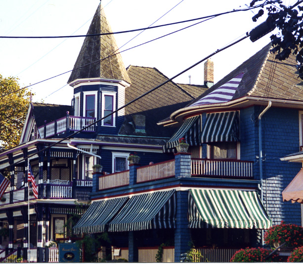
OCNJ Awnings Crop

Striped awnings are one of my favorite things. It’s cool and quiet inside them. They make me nostalgic for summers gone by, before there was air conditioning.

–Samantha Mozart
Arizona


AZ

Howdy. This is a saguaro cactus at Coolidge, Ariz., near the Casa Grande Ruins National Monument, between Phoenix and Tucson. The saguaro (pronounced sah-wah-roh) will grow only on the Sonoran desert in Southern Arizona. The saguaro cactus grows very, very slowly. A baby saguaro grows one inch in 10 years; by 95 to 100 years it may start to produce its first arm; by 200 years the saguaro cactus has reached its full height, 45 to 70 feet. I’ll wager that if the cactus I stood before and photographed could talk, it would tell you stories of the Old West that would make your skin prickle. The local Tohono O’Odham people viewed the saguaro cactus as a different type of humanity, not as a plant. They considered the cacti as respected members of their tribe. You can read more about this fascinating cactus here: Organ Pipe National Monument. I shot this photo on one of my road trips across country. I love Arizona and have explored nearly all of the state. Every time I go there I don’t want to leave.

AZ011W Arizona Sky

Wide open spaces and that Arizona sky.

I love Southern Arizona, around Tucson, the best. Below are some scenes:

Horseshoe Cafe

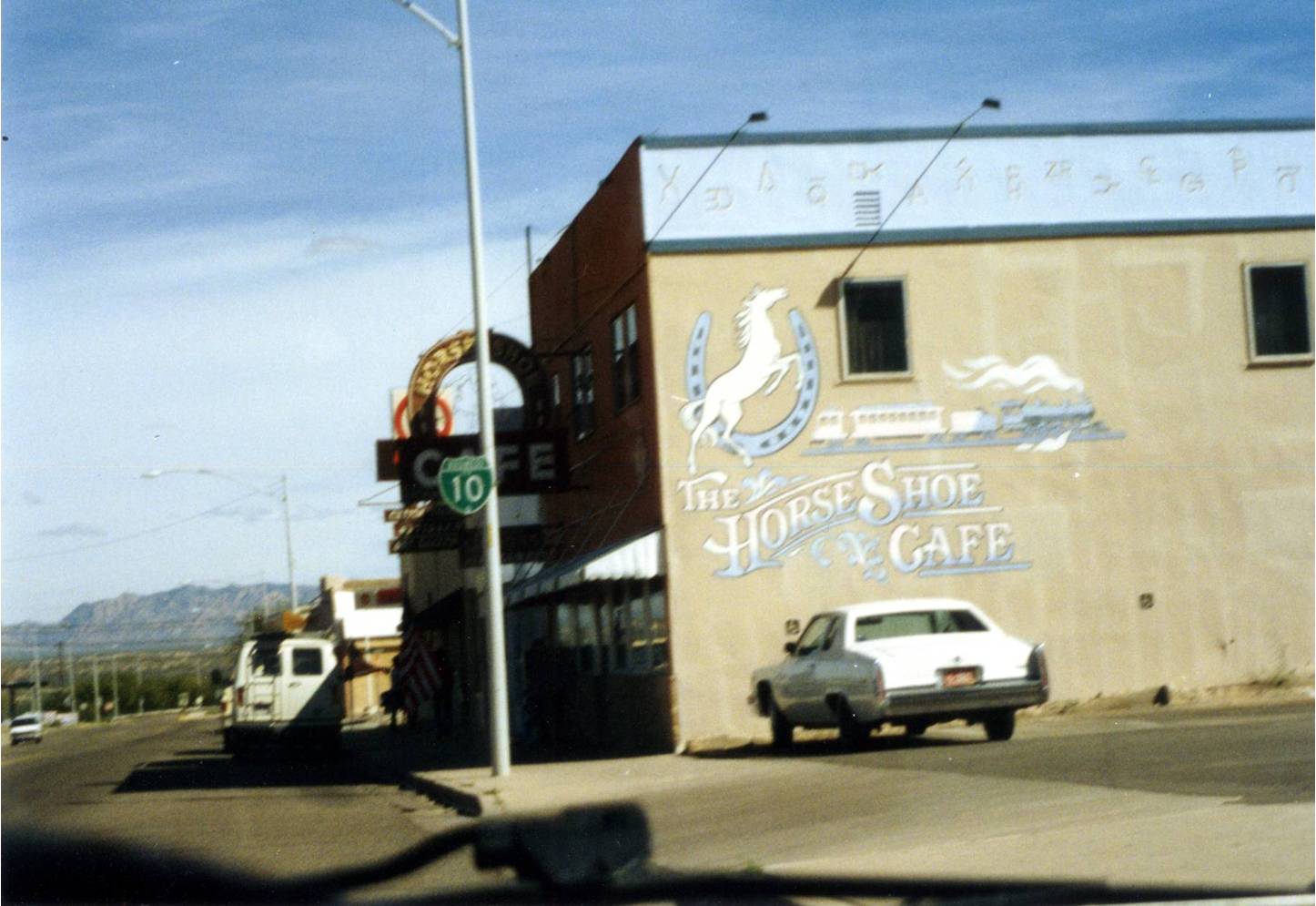
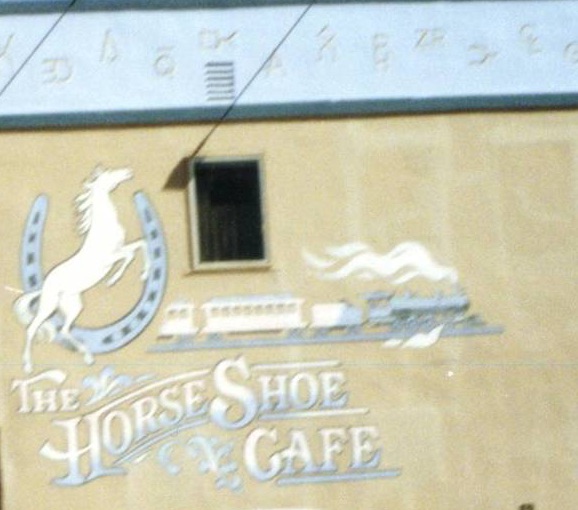
The venerable Horseshoe Cafe, a historic landmark, has been in operation since 1938. Whenever I travel to Tucson, I make a point to stop in nearby Benson, on Highway 80 (business route Interstate 10), and eat at the Horseshoe Cafe. I visited a few times in the 1980s and ’90s; but it’s been now 20 years since I was there. The Horseshoe Cafe not only has historical ambience, but also Vern Park murals on the walls depicting scenes of the Old West, a jukebox and plenty of great food and service. Folks are friendly here. It turns out that my waitress was good friends with a young woman from Benson whom I worked with in Los Angeles; and the young woman in L.A. had told me about Cody, the buffalo, from a Benson ranch. Cody is a celebrity: he was the buffalo in “Dances With Wolves,” the 1990 movie.

Here’s an Old West tale about the Horseshoe Cafe and one of its residents.  http://www.examiner.com/article/spirits-at-the-lucky-horseshoe-cafe-benson-arizona. Note that the painting on the west wall when I took my photo in 1994 (the uppermost photo below) now has Ghost Riders added to it, evidenced in the more recent 2010 Examiner photo (middle), and the next one.

Horseshoe Cafe Wall

Below is the Horseshoe Cafe with the recent recreation of the Ghost Riders painted on the wall by Doug Quarles. This photo below is not mine. I took it from the

Horseshoe Cafe Picture14

Southeast Arizona Economic Development Group’s website: http://www.saedg.org/benson-clean-and-beautiful-murals.html#

I owe the town of Bisbee more than just a drive-by photo, shot from my car window. I ran out of time. I wish I could have stayed longer. I reckoned I’d come back someday soon. These are the copper hills surrounding Bisbee, located 92 miles southeast of Tucson, close to the Mexican border. Bisbee has a quirky history and an open-pit Copper Queen Mine. But more minerals than copper are unearthed from the mines here in the Mule Mountains — gold, silver, a high quality turquoise (Bisbee Blue), cuprite, aragonite, wulfenite, malachite, azurite and galena.

Bisbee Copper Hills

In 1929 the Cochise County seat was moved from Tombstone to Bisbee, where it remains.

Tombstone is one of my favorite places in Arizona. Unfortunately, it has become commercialized, so it’s hard to get authentic pictures of how the town looked in the days of the Clantons, Doc Holliday and the Earps.

Tombstone & OK Corral

The O.K. Corral occupies a small open space to the left of the store.

Tombstone Courthouse Rescan

Tombstone Courthouse at sunset.

–Samantha Mozart
A-Z Blogging Challenge 2016 – Theme Reveal

atoz-theme-reveal-2016+v2
Every April writers and bloggers come together to take up the Blogging From A-Z Challenge. This year I am taking up the challenge, once again, along with this annually growing group.

I wish to thank my writer friends who have inspired and encouraged me to take up this daily writing challenge. Each day we write a blog post themed on a letter of the alphabet, beginning with the letter A on April 1, continuing to the letter B on April 2, the letter C on April 3 and so on. We take Sundays off.

This year, simply enough I have decided to show you each day a picture of a place where I have lived or visited. My theme, accordingly, is “From Sea to Shining Sea,” my landscape photos from my travels across America.

My landscape photographs have hung in gallery exhibit, and been selected by the National Endowment for the Humanities for slide show presentation.
I hope you enjoy my 2016 A-Z Blogging Challenge presentation.

–Samantha Mozart